NEWS UPDATE: Virgin Islands Office of Disaster Recovery” Releases New Website
Last updated: June 17, 2019
Coastal Flood Exposure Mapper Virtual Workshop
Virtual Workshop
Venue: Virtual Workshop Event Date: May 21, 2020 11:00 - May 21, 2020 13:00
Location: St. Croix St. John St. Thomas Water Island
Coastal Flood Exposure Mapper Virtual Workshop
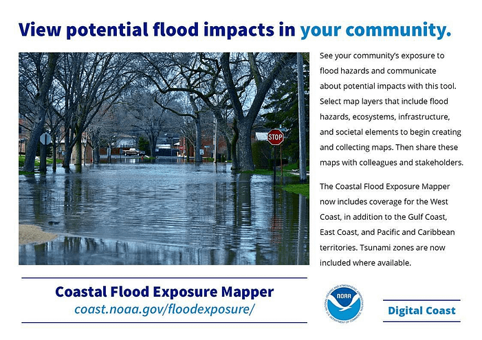
NOAA’s Office for Coastal Management within the National Ocean Service will host a virtual workshop on the Coastal Flood Exposure Mapper on May 21 at 11am. This innovative tool supports communities that are assessing their coastal hazard risks and vulnerabilities. It creates a collection of user-defined maps that show the people, places, and natural resources exposed to coastal flooding. The maps can be saved, downloaded, or shared to communicate flood exposure and potential impacts. In addition, the tool provides guidance for using these maps to engage community members and stakeholders. The current geography includes the East Coast, West Coast, Gulf of Mexico, and islands in the Pacific and Caribbean.
Please contact [email protected] for more info or to suggest potentially interested partners.